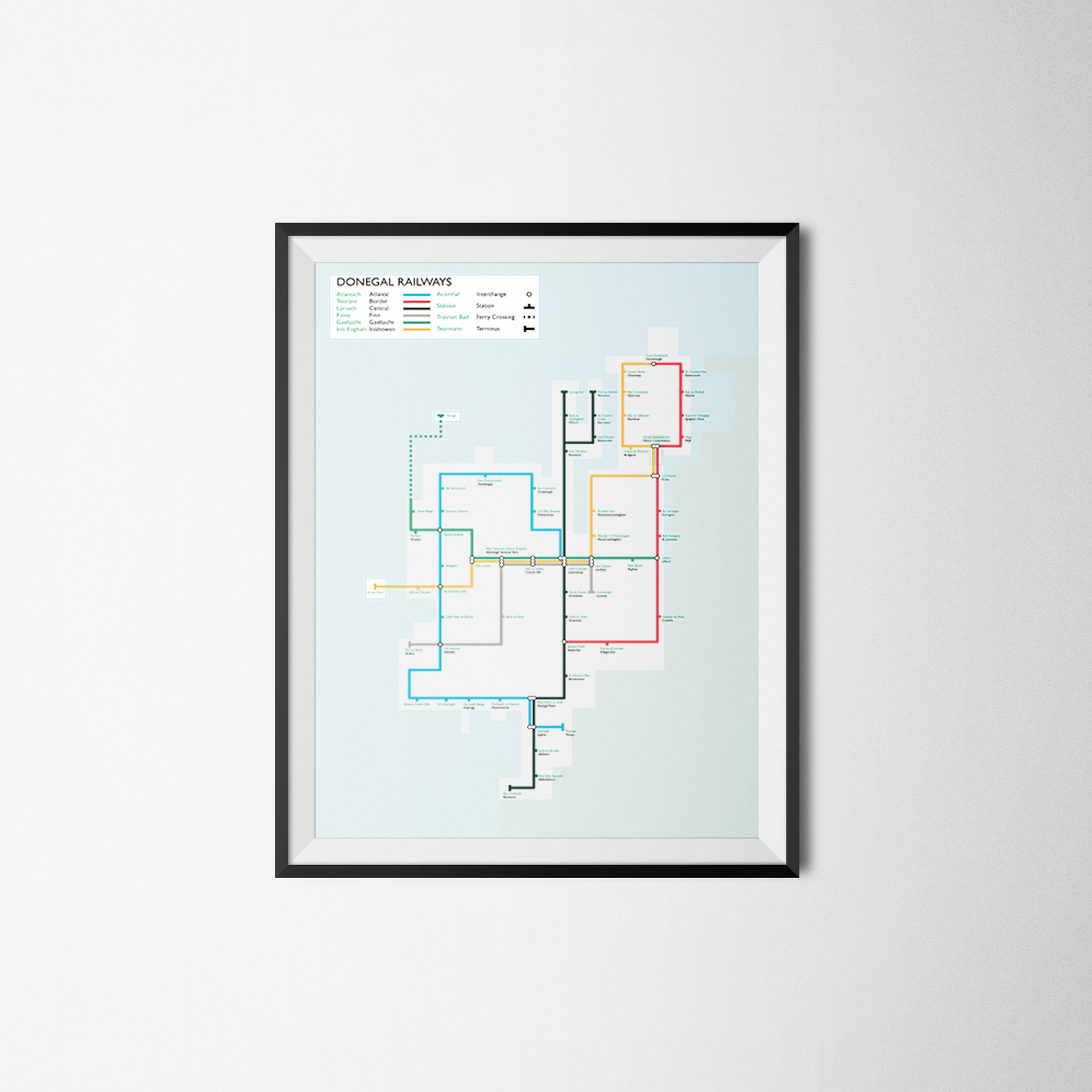
MAPPING THE HILLS
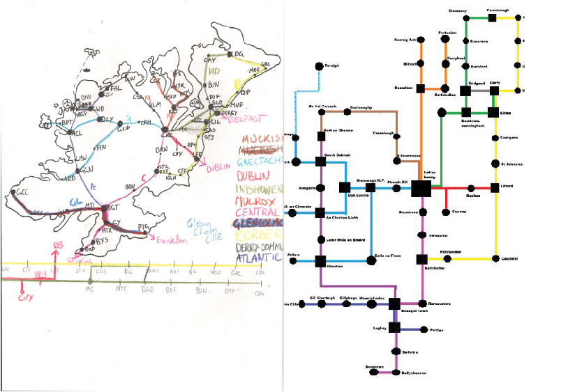
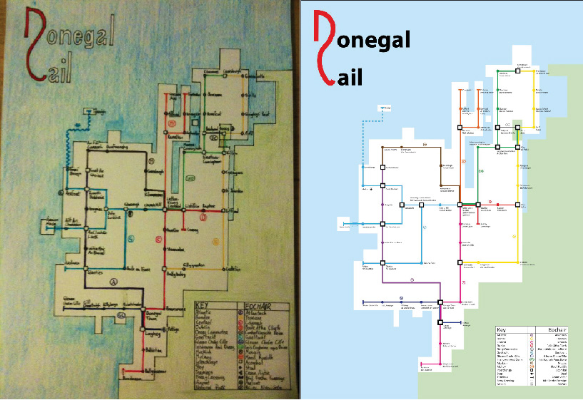
In 2011, I embarked on my first venture into transit mapping by envisioning a railway network for my home county of Donegal. This project wasn’t just about mapping; it was my introduction to Adobe Illustrator and a hands-on way to teach myself the tools of the trade.
The project remains incredibly significant to me, both personally and professionally. It marked the beginning of my journey into the world of transport design and mapping, combining my passion for transit with a deep connection to my home. While the map was idealised, it sparked the creative process and laid the foundation for the more sophisticated transit work I do today.
Development Stage 2